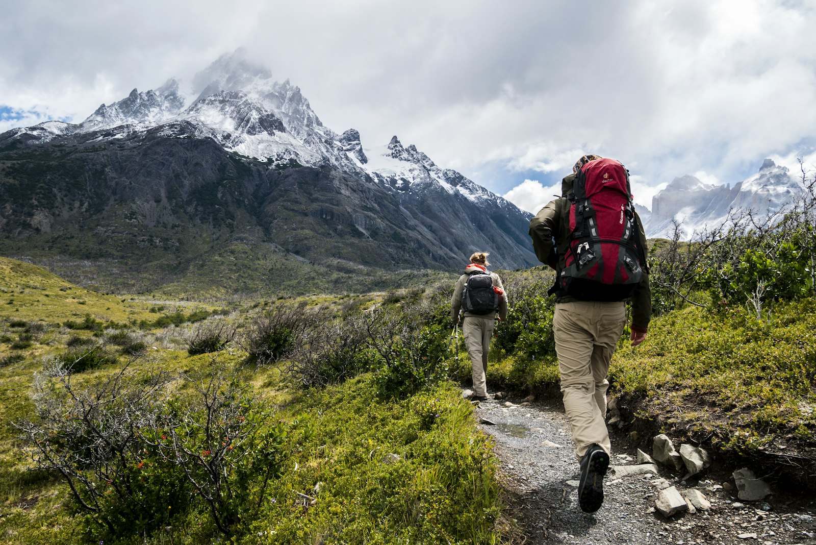
Chiang Dao is one of the 25 amphoe of Chiang Mai province, covering roughly 2,200 km² per Wikipedia and representing the remote northern frontier of the province before Fang and the Myanmar border. The district's geography is defined by Doi Luang Chiang Dao, a dramatic 2,225-meter limestone massif that is Thailand's third-highest peak — a wildlife-rich, cloud-wreathed mountain that is the country's most biologically significant non-volcanic peak and a protected wildlife sanctuary. Below the mountain, the Chiang Dao Cave complex is one of Thailand's largest cave systems and a working Buddhist cave-temple that has drawn pilgrims for centuries.
Expat residential presence in Chiang Dao is tiny — perhaps 100–200 long-term Western residents across the entire district, scattered between coffee farms, yoga and meditation retreats, small eco-homesteads, and a handful of single-family homes rented by retirees or writers who specifically wanted extreme mountain isolation. The district capital, also called Chiang Dao, has a small morning market, one gas station, one basic hospital, and effectively no international infrastructure. The nearest Rimping, Bangkok Hospital, and international schools are all the 75-minute drive back to Mueang Chiang Mai.
Rent reflects the niche. A 1-bedroom condo does not really exist as a product in Chiang Dao; rare examples run ฿3,500–7,000. A 2-bedroom house trends ฿6,000–12,000. A 3-bedroom rural house on agricultural land with garden rents for ฿8,000–20,000, and some larger eco-villas reach ฿25,000+ for those with established wells, solar, reliable road access, and mountain views. Condos do not exist as a sale product outside a few district-capital examples; the residential market is almost entirely single-family houses and rural land.
The 2026 wildfire season is the hard tradeoff. Chiang Mai Province Disaster Prevention declared Chiang Dao a wildfire disaster zone with 2,090+ burn hotspots reported between January and March 2026, the highest concentration in any single Chiang Mai district. Nearby forest fires override the elevation benefit that high-altitude districts normally enjoy — annual PM2.5 averages around 28 μg/m³ per IQAir, but February–April peak weeks during the 2026 disaster season exceeded 300 μg/m³ in multiple local readings. Any long-term resident of Chiang Dao in 2026 needed to either leave the district for burning season or invest seriously in HEPA filtration and stay indoors for weeks.
Chiang Dao works for a very specific expat: someone who writes, paints, or meditates; who values Doi Luang views over proximity to anything; who can afford to either leave for burning season or live with serious indoor air quality systems; who has their own 4WD; and who accepts that medical emergencies mean a 75-minute drive. For that specific person, it is unmatched. For anyone else, Mae Rim is a better version of the mountain dream with a third of the commute and a tenth of the wildfire risk.